ELEVATE YOUR EXPOSURE
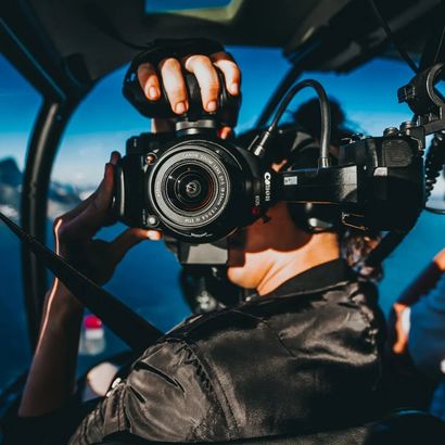
WHO WE ARE
We are a veteran owned business, founded by pilots with decades of experience in flying operations. As aviators, we have developed a love for the views from above. It only seems natural that we serve our communities by capturing their properties with the same viewpoints we are blessed to experience. Our employees are FAA licensed and insured to give you the peace of mind that your job is in the right hands. At Avion Aerial Solutions we are invested in developing a personal connection with each and every one of our customers, by providing the highest quality service and being available anytime for questions or consultations.
OUR SERVICES
We offer a wide range of services to meet every type of business.
Real Estate
Drone footage is becoming increasingly important in the real estate industry. It provides a unique perspective on a property that is not available through traditional photography. Drone footage can show off a property’s unique features, such as its location, landscaping, or views that would otherwise be difficult to capture.
Construction
Drone footage provides a unique view that can't be obtained by any other means, allowing project managers to get a better understanding of the entire site and its progress. Drone footage can be used to monitor progress, identify potential hazards and develop better safety protocols. It can also be used to capture detailed images of the construction environment, allowing project managers to make better decisions and potentially save money and time.
Agriculture
Drone technology can be used to monitor crops and livestock, survey land, and detect changes in soil composition and water levels. Drone footage can provide detailed images that allow farmers to assess the health of their land, identify areas of concern, and ensure that their crops are growing efficiently.
Industrial
Drone footage has become an incredibly valuable tool for industrial applications. Its ability to provide high-resolution images from previously inaccessible heights can give professionals a new perspective on their work. In addition, drone footage can be used to develop inspection plans, monitor progress, and provide real-time data analysis.
Drone mapping is the process of using drones, or unmanned aerial systems (UAS), to collect data about an area. This data can include aerial photos, 3D models, and other measurements that can be used for a variety of applications, such as surveying land, monitoring construction sites, and creating detailed maps. Drone mapping technology is becoming increasingly popular as it is faster, more efficient, and less expensive than traditional methods. Drone mapping is one of many ways Avion Aerial is continuously working to improve the ways we capture properties and services.
OUR FOOTAGES
Need drone footage for your property?
GET A FREE QUOTE NOW!
Different price points may vary by service and within each area.